Image courtesy of Friend of Lopez Hills
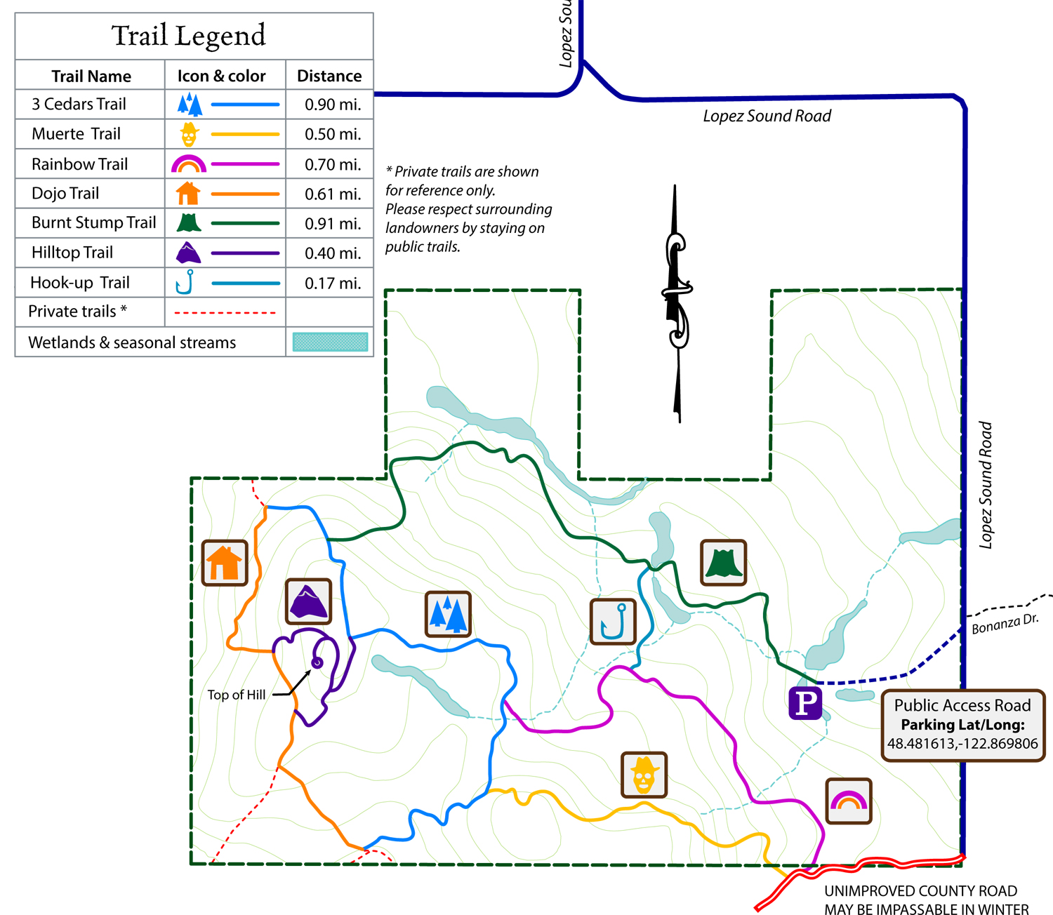
Lopez Hill
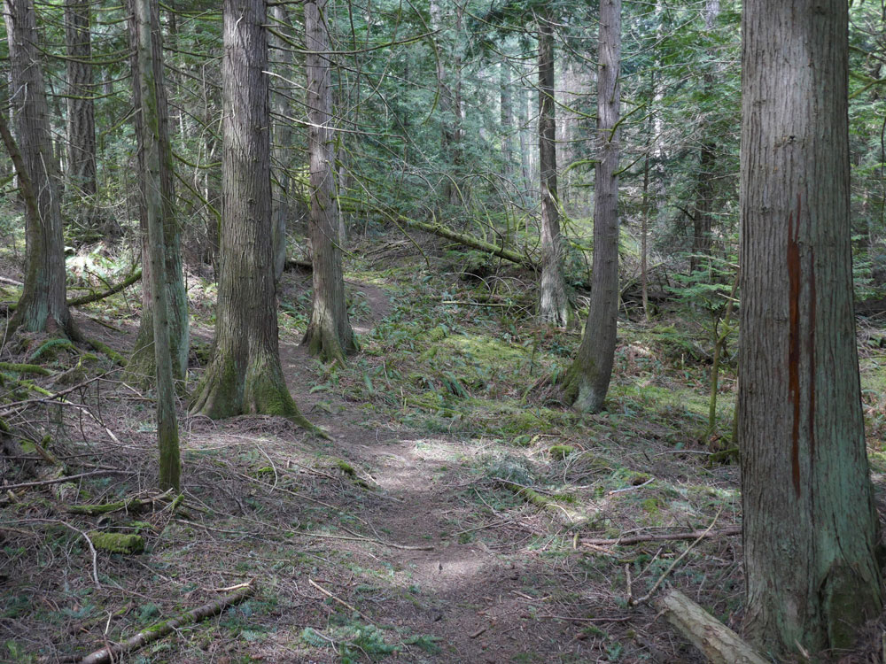
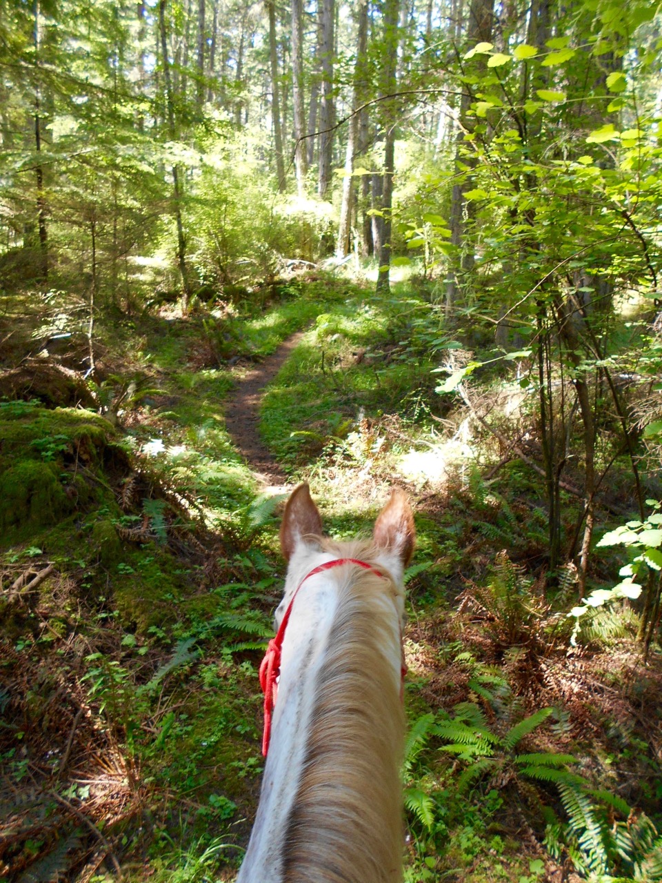
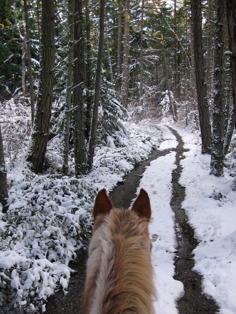
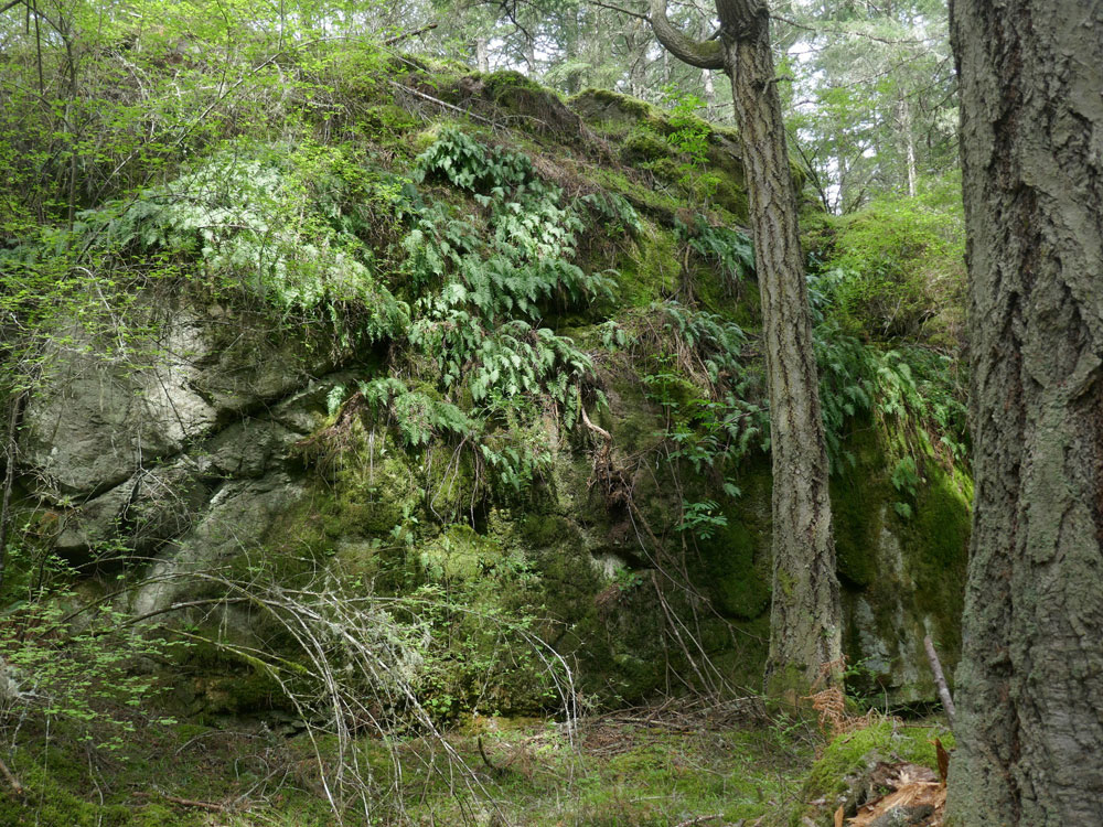
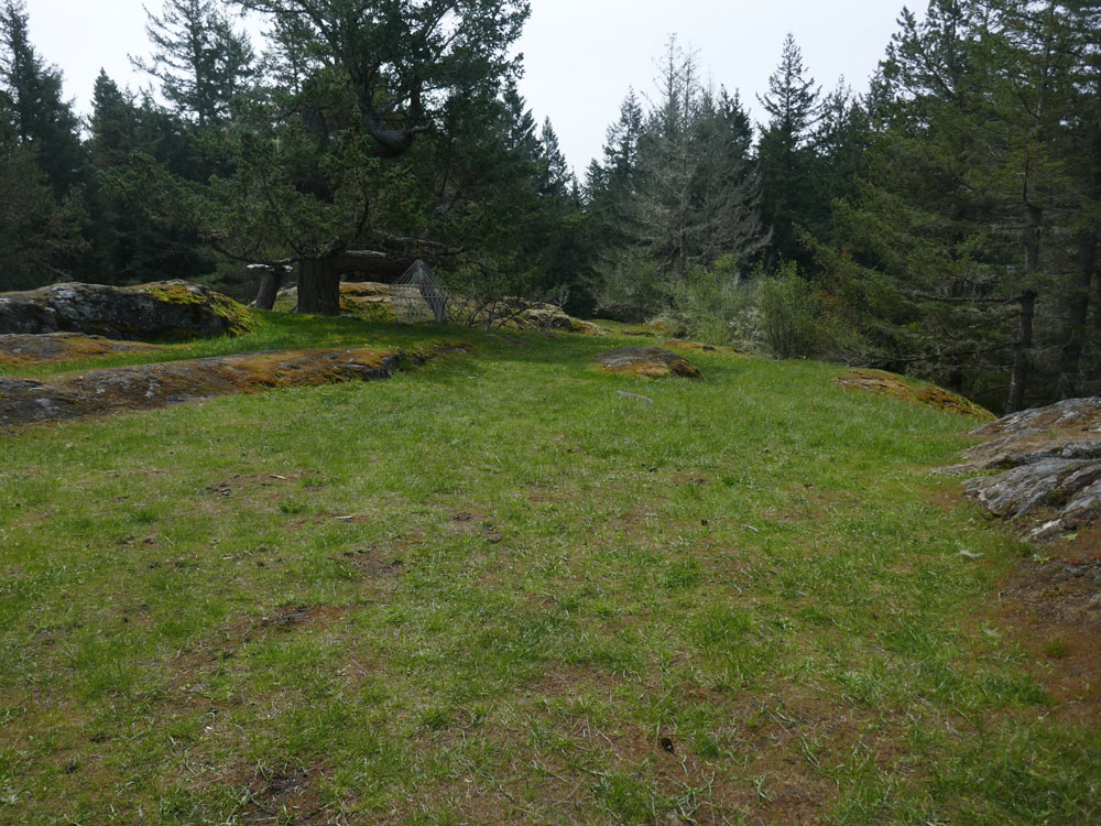
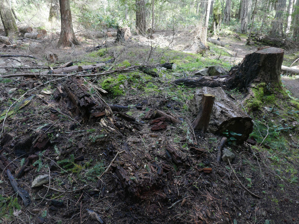
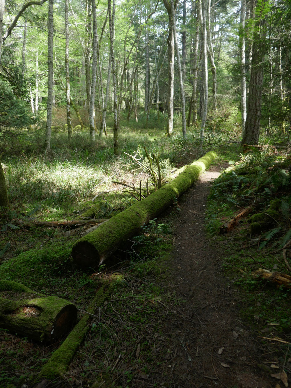
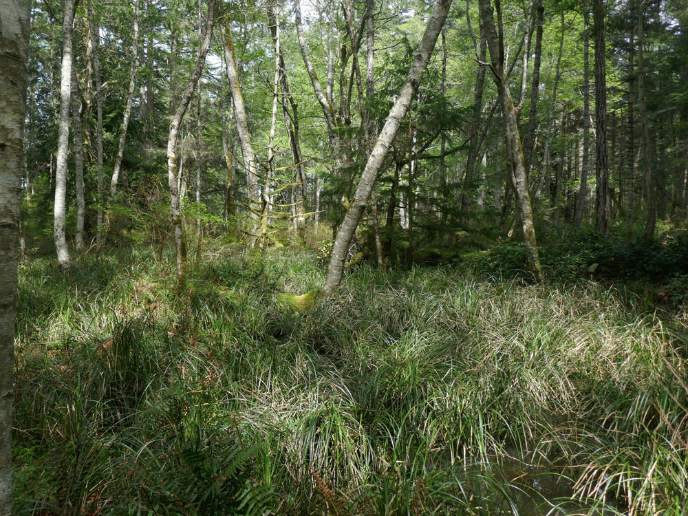
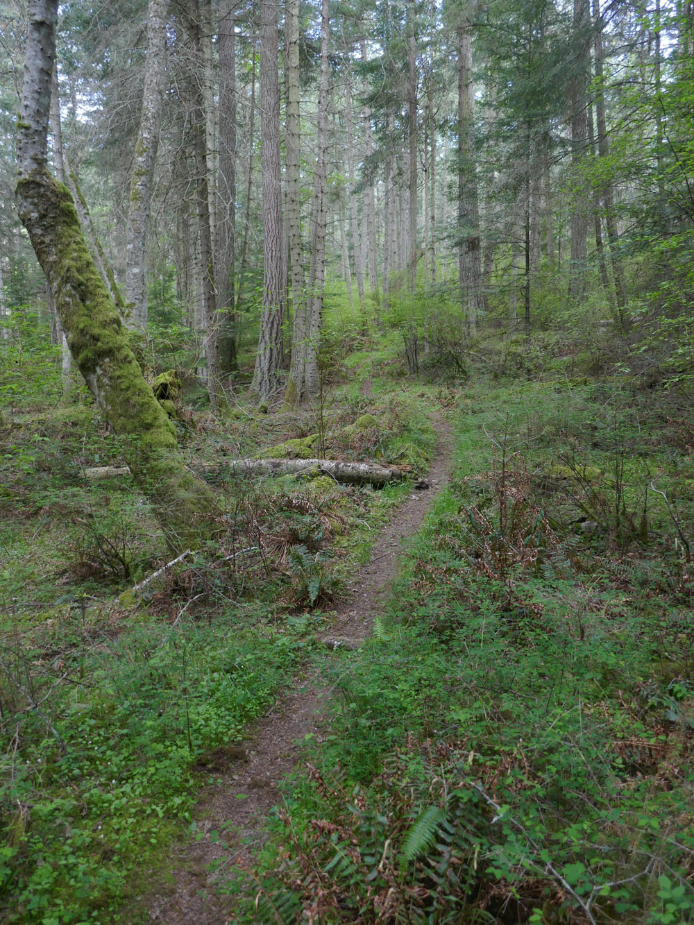
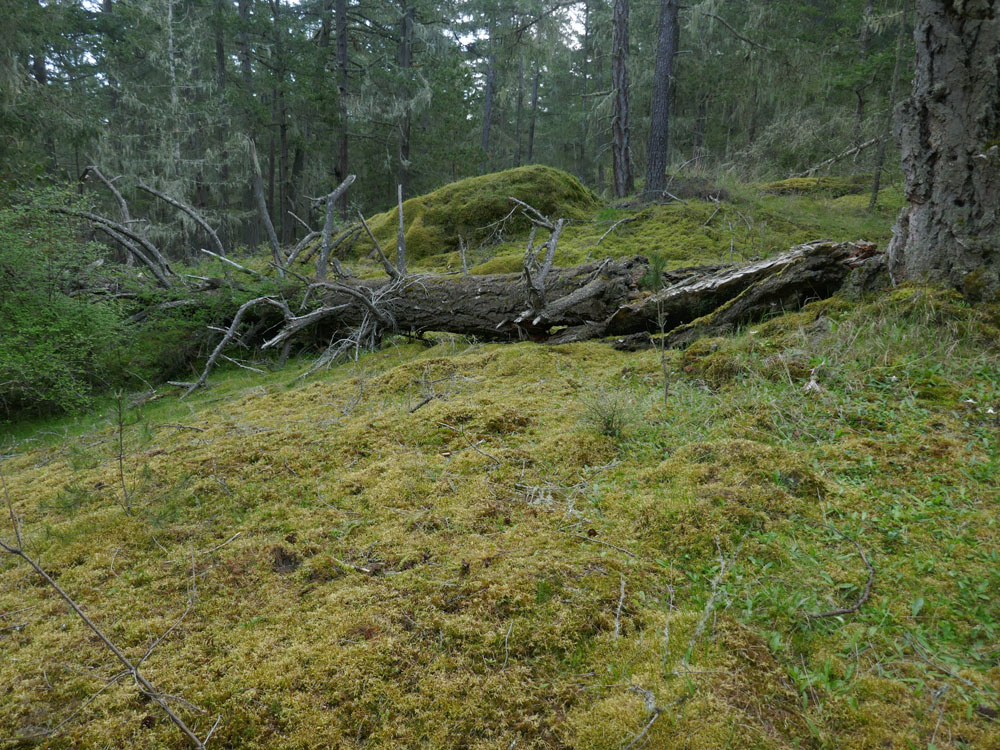
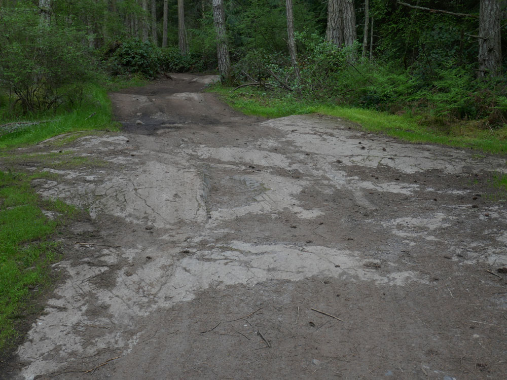
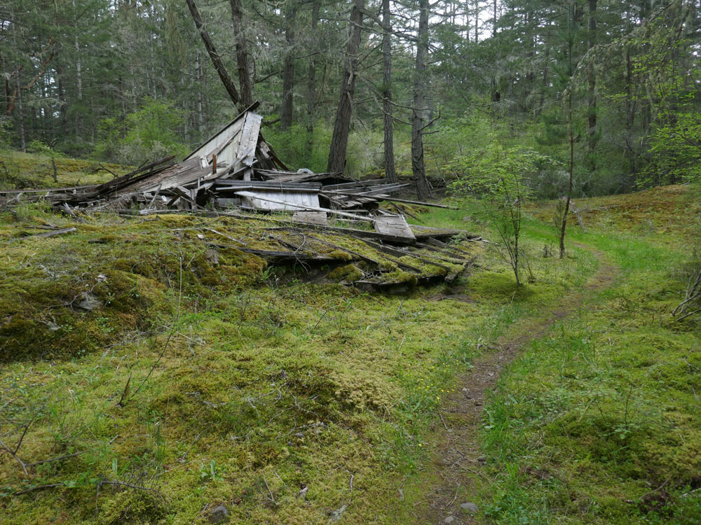
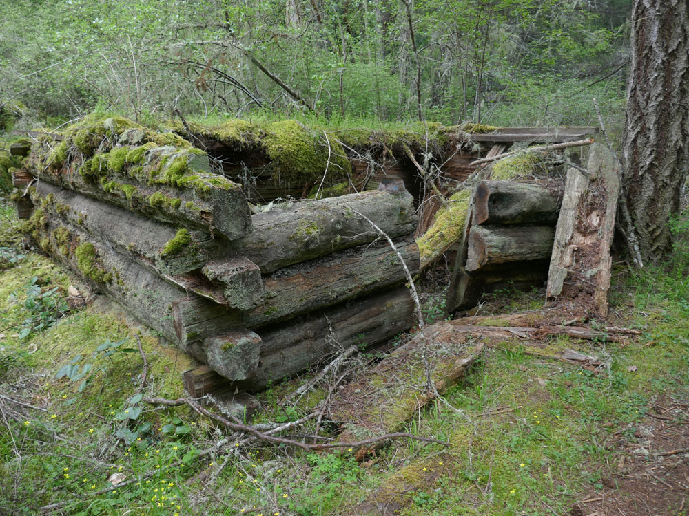
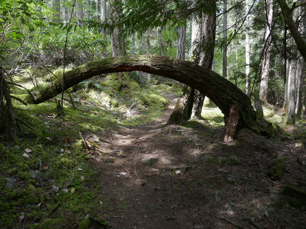
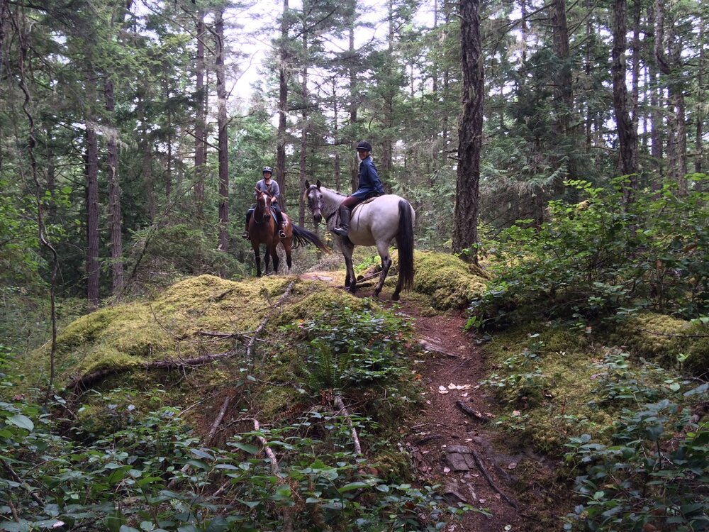
San Juan County Land Bank owns 400 acres of Lopez Hill where there are about five miles of trails. While there are no territorial views the trails wander through the forest, near bogs, and over moss-covered rocky outcrops.
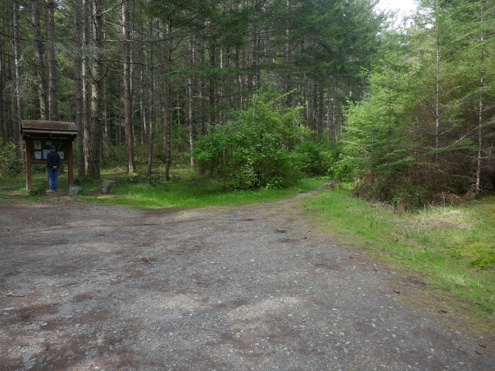
The Friends of Lopez Hill built and maintains trails on the property, and publishes a trail map/brochure to help raise funds for their organization. You can get more information about how to purchase a 2-sided, full color copy of the trail map at the Friends of Lopez Hill website. You can also download a PDF of the map.