Lopez Island Trails
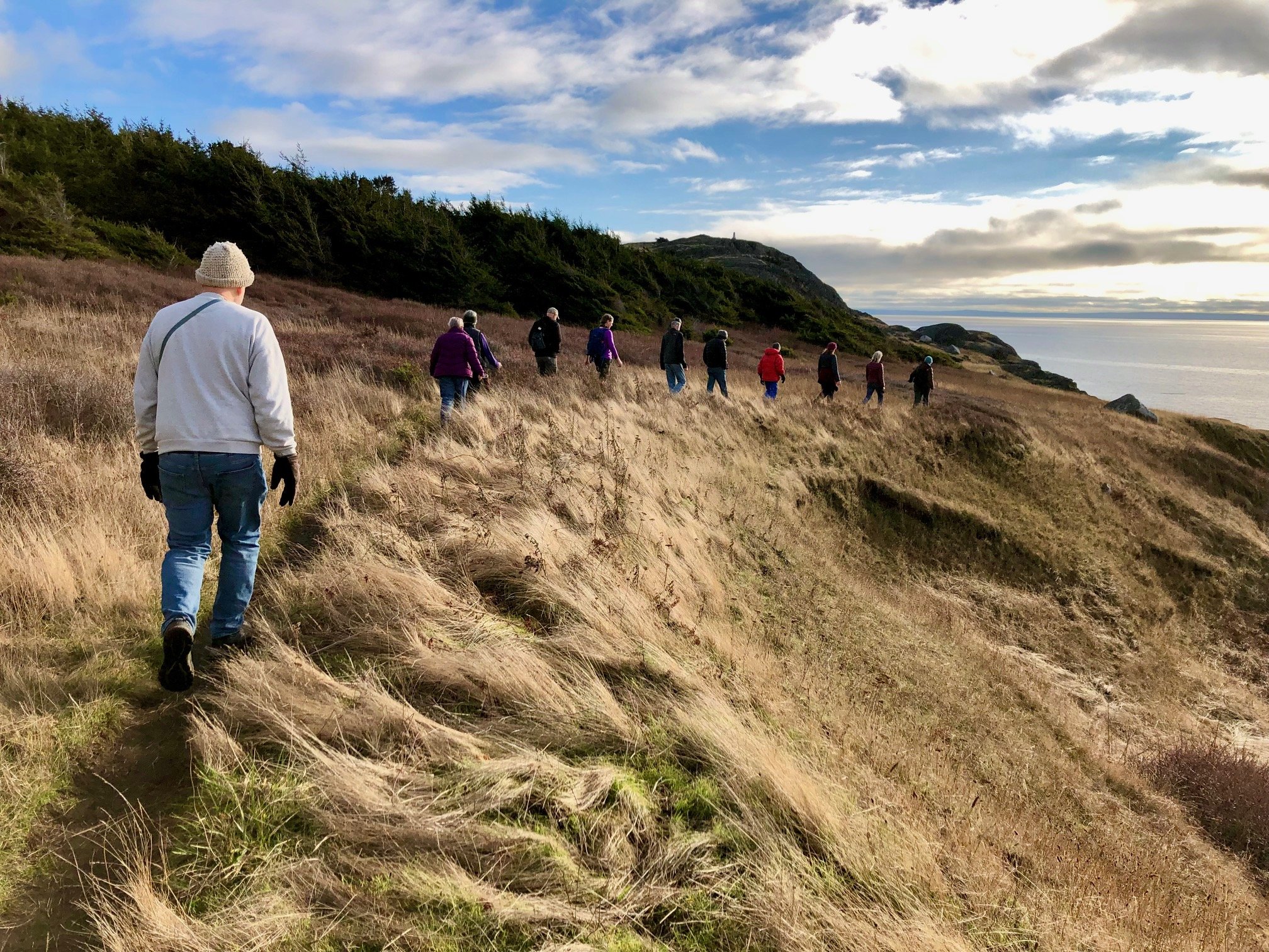
Lopez has many hiking and walking opportunities scattered over the island. These range from short walks like Weeks Wetland in the Village to miles of trails in the Watmough area at the far southeast part of the island. The Lopez Chamber of Commerce provides a map of the Island to help you get oriented, and find the parks and preserves listed below.
Starting from the north end of the Island, walking and hiking trails can be found at:
Upright Head Preserve [MAP] — A Conservation Land Bank preserve with a walk along the headland just to the west of the ferry landing.
Odlin Park — A San Juan County park with trails through a mature forest and access to a sandy beach.
Upright Channel Park — A Washington State park with a short walk through alders to a sandy beach. Note that a Washington State Discover Pass or a One-Day Pass is required for parking. They can be purchased online at: https://store.discoverpass.wa.gov/ The One-Day Pass will be sent by email and can be printed out for immediate use. If you are unable to print, write the transaction number and date on a piece of paper in large bold print and display it on your car's dashboard.
Spencer Spit Park [MAP] — A Washington State Park with additional access to a Conservation Land Bank preserve. Trails include walks along the beach, through the woods, and along the bluffs above the water. Note that a Washington State Discover Pass or a One-Day Pass is required. For parking They can be purchased online at: https://store.discoverpass.wa.gov/ The One-Day Pass will be sent by email and can be printed out for immediate use. “If you are unable to print, write the transaction number and date on a piece of paper in large bold print and display it on your car's dashboard.”
Weeks Wetland Preserve [MAP] — A small Conservation Land Bank preserve on the south side of Lopez Village with a short walk at the edge of a salt marsh.
Hummel Lake Preserve [MAP] –- A Conservation Land Bank preserve with a short walk to a dock on Hummel Lake and a longer walk through the woods.
Fisherman Bay Spit Preserve [MAP] – A Conservation Land Bank preserve just across the mouth of Fisherman Bay from Lopez Village. The trails cross an open meadow to reach the gravel beach of the spit.
Otis Perkins Day Park [MAP] -– A small park with both County Parks and Conservation Land Bank property at the south end of Fisherman Bay. It straddles the tombolo with a gravel beach along San Juan Channel.
Lopez Hill Preserve [MAP] -– A Conservation Land Bank preserve with 474 acres and miles of trails. It has the highest point on Lopez but does not have any open views. The trails through the woods are very peaceful.
Shark Reef Park – A San Juan County park with trails leading to a rocky bluff above the water. There is a view of the Cattle Point lighthouse on San Juan Island. The southwest corner of the park is just across a narrow channel from a small seal colony.
Agate Beach Park – A San Juan County park with a short walk through the woods, and access to a gravel beach when the stairs are replaced. It provides parking for the hike to Iceberg Point.
Iceberg Point [MAP] – Bureau of Land Management and Coast Guard property with access through private property. There are several miles of trails starting from Agate Beach including the access through the woods and then along the cliffs above the water.
Blackie Brady Park – This is essentially just a county road right-of-way that allows access to a beach that has a nice view of Hughes Bay.
Watmough Area [MAP] – This may be the crown jewel of public property on Lopez Island. It has 403 acres of Bureau of Land Management property and 25 acres of Land Bank property. It has miles of hiking trails that provide access to a spectacular gravel beach with a view of Mt. Baker, a walk along the rocky bank above the water with a view across the Strait of Juan de Fuca to the Olympics, and a hike to the top of Chadwick Hill with views from Mt. Baker, to Mt. Rainier (on a particularly clear day), and to the Olympic Mountains.
Organizations
There are several groups that maintain the areas set aside for public use in the San Juan Islands and you will find links to those groups below.
San Juan County Conservation Land Bank https://sjclandbank.org/
Bureau of Land Management https://www.blm.gov/programs/national-conservation-lands/national-monuments/oregon-washington/san-juan-islands
San Juan County Parks https://www.sanjuancountywa.gov/1950/Explore
Washington State Parks https://parks.wa.gov/
San Juan Preservation Trust https://sjpt.org/

